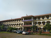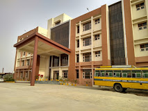
About college
Geographic information systems in their advanced form originated in late 90’s. During this time Remote Sensing has become operational to provide basic information required for natural resources evaluation and environmental management. Remote sensing technology has played an important role in effective mapping and monitoring of the natural resources and environment.
Highlights
- Address: Kukatpally, Hyderabad – 500085, Andhra Pradesh, India
- Website: http://jntuh.ac.in/
Course
- M.Sc – (Geospatial Sci &Tech)
- M.Tech – (Spatial Information Technology)
- M.Tech. (Geo-Informatics & Survey Technology)
- Ph.D. Geoinformatics


